


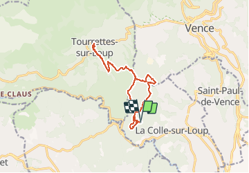

13.1 km | 22 km-effort

User


FREE GPS app for hiking
 SityTrail
IGN / Geographical institutes
SityTrail World
The world is yours!
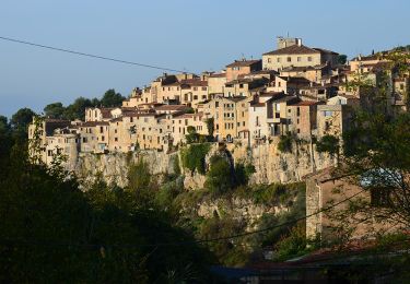
Trail Walking of 15.3 km to be discovered at Provence-Alpes-Côte d'Azur, Maritime Alps, La Colle-sur-Loup. This trail is proposed by GrouGary.
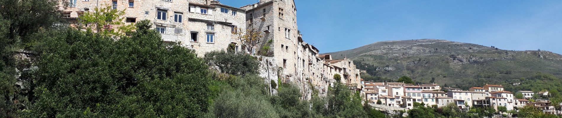
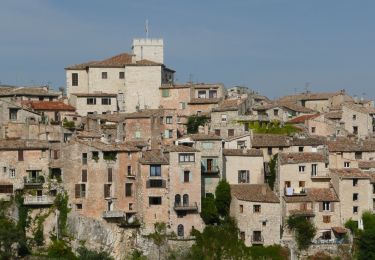
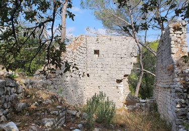
Autour de la Louvière. Ancienne et grande bergerie des crottes. Circuit en forêt.
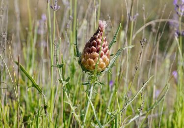
Bien en avril.


Walking
On foot
On foot
On foot

On foot

On foot

Mountain bike
Walking
Walking